
Big Sur Hiking Trails
Near Ragged Point
A good hike is the ultimate way to explore California’s Central coast and Big Sur, to take in the natural beauty of the area, to recharge, and to even get a good workout! The California Coast Trail runs just adjacent to Ragged Point Inn, making this the perfect place to stay, stock up for, or refresh yourselves after your hike. Numerous hikes are available at or near the Point, and a few of our favorites follow:

Ragged Point Cliffside Trail
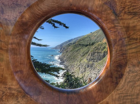
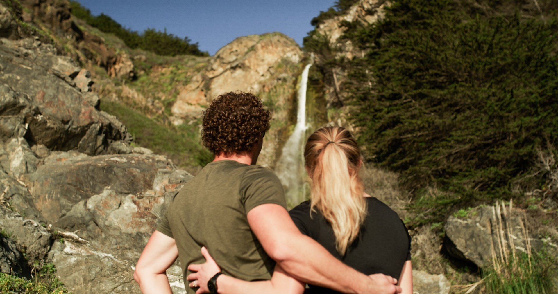
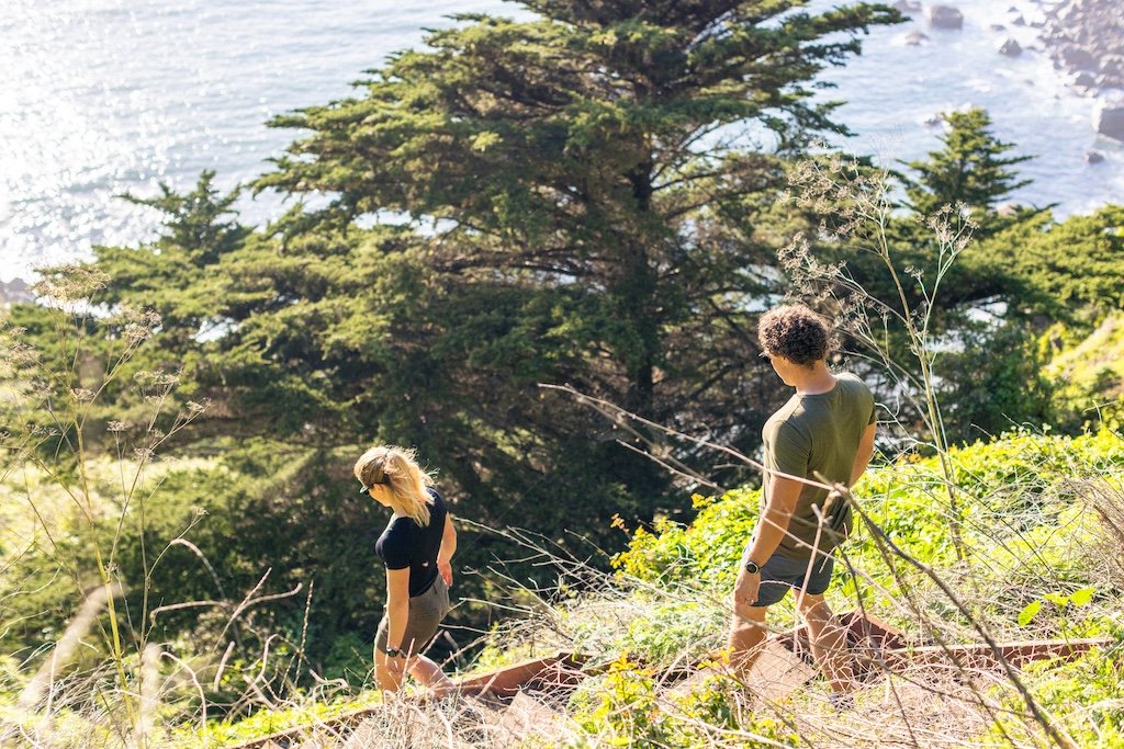
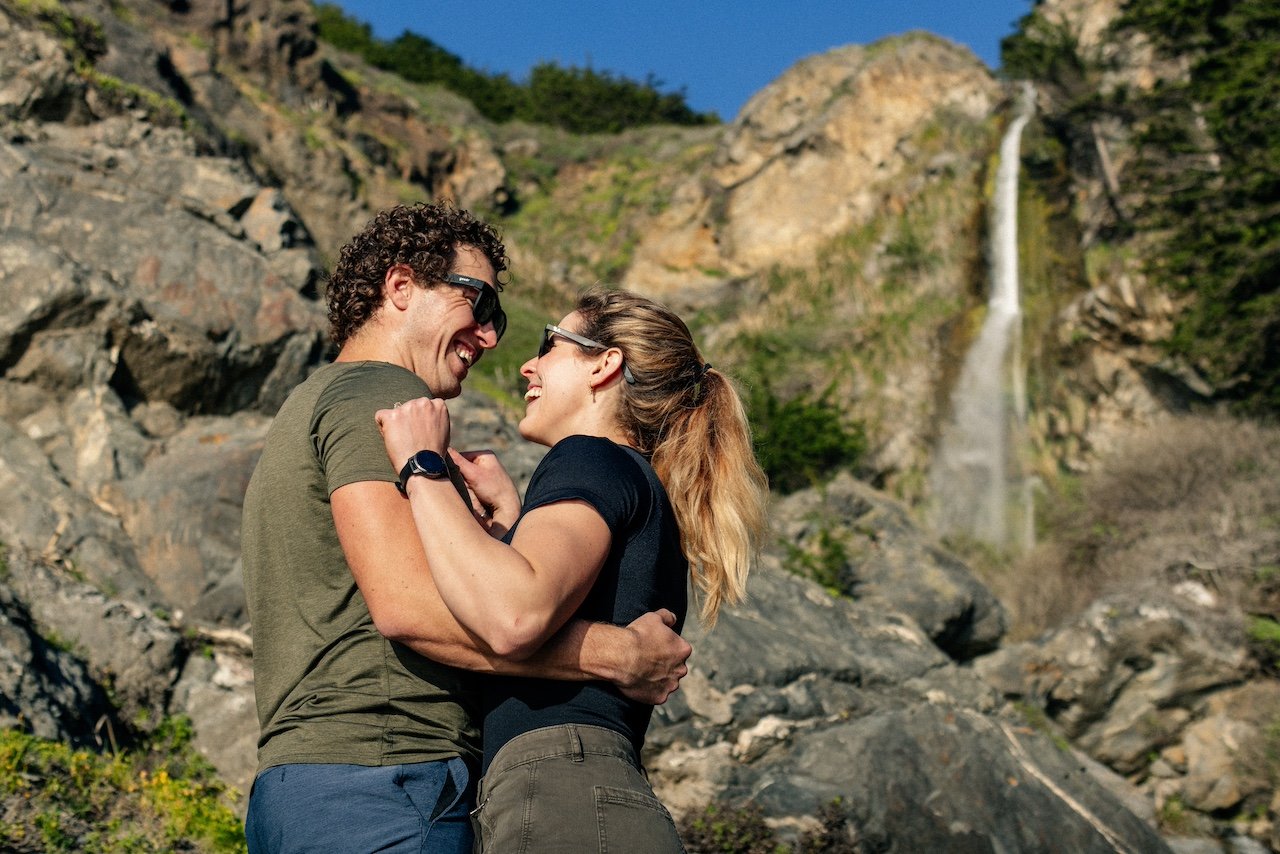
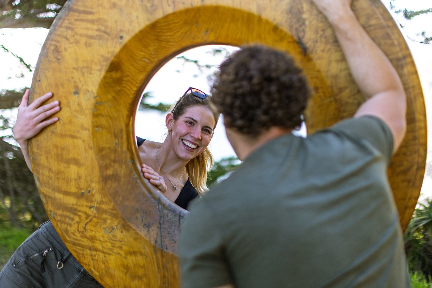
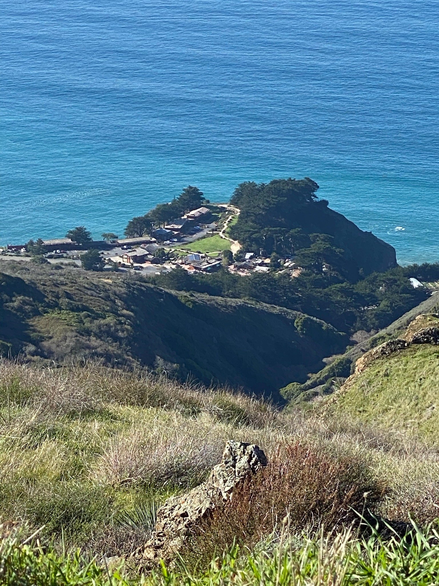
Ragged Point’s Wedding Pagoda and Portal to Big Sur mark not only our “million-dollar view,” but also the head of the Ragged Point Cliffside Trail. Allow yourself at least ½ hour if you want to traverse the steep, rugged 350-foot cliff, check out Black Swift falls, and arrive at a truly magical black sand beach. But bring your hiking boots -- in rainy winters, nature brings its erosion damage and it can take us a while to make repairs.
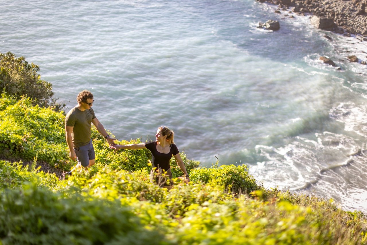
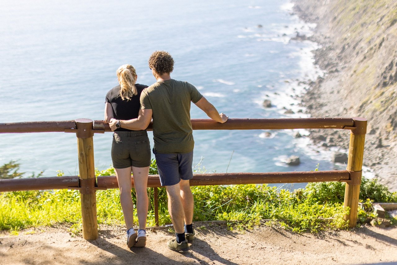
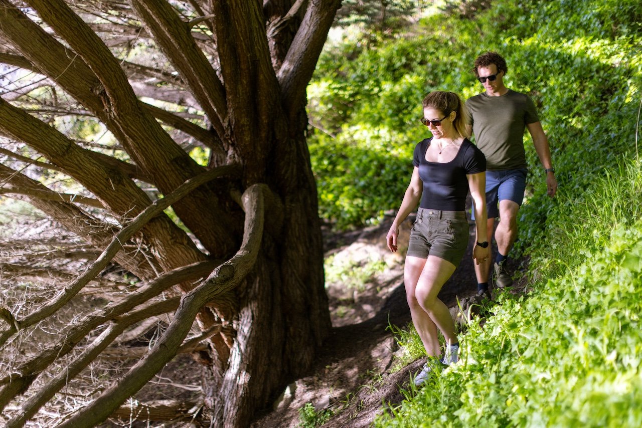
Looking for something less rigorous? Keep walking past the Portal and stroll our beautiful, flat, tree-lined nature trail to the end of the point. Along the way, there are benches for your relaxation. At the end, there are awe-inspiring 360-degree views of the rugged Pacific and Santa Lucia Mountains, and glimpses of rare and beautiful birds and passing whales and dolphins.

BALDWIN RANCH TRAIL
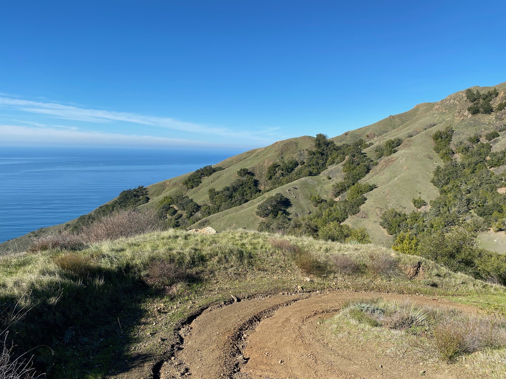
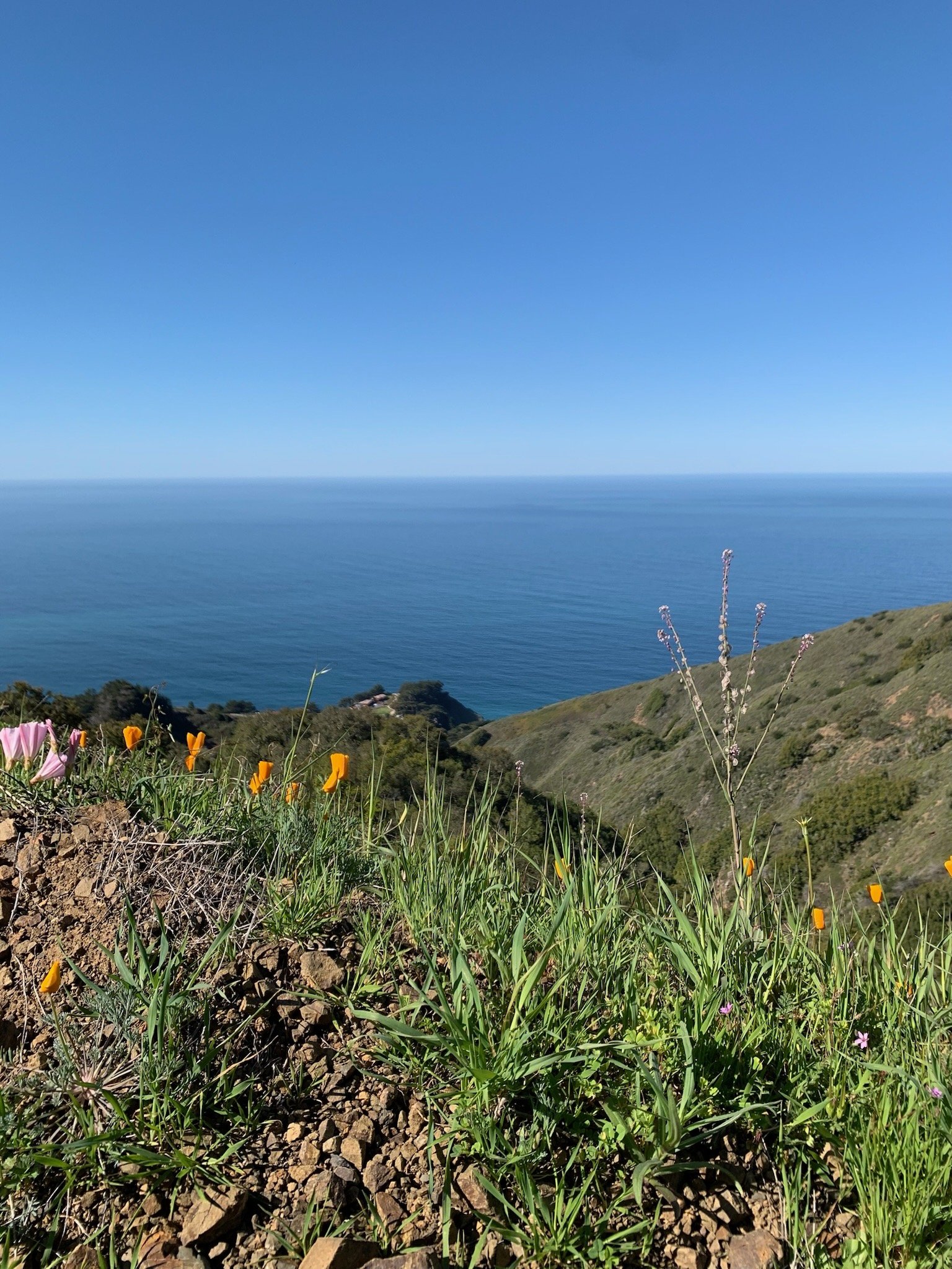
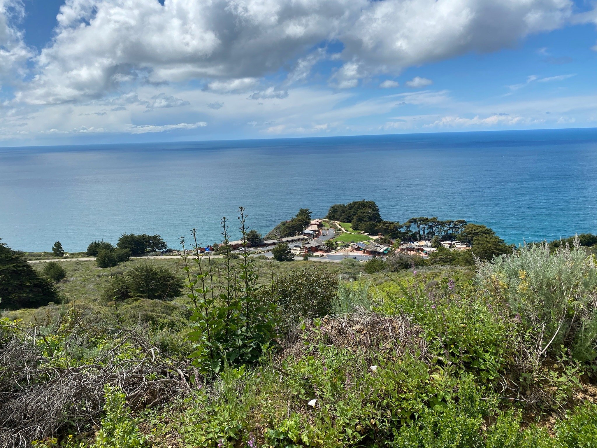
Just across Highway 1 from Ragged Point Inn is Baldwin Ranch Trail. Sometimes called the “Ragged Point Fire Trail,” this well-maintained trail is a steep up-and-back across National Forest Service property. You can make this hike as long or as short as you please – up to 8 miles to the ridge top. The Baldwin Ranch Trail offers quiet and solitude, incredible seasonal wildflower blooms, and beautiful views of curvy CA Highway 1, the Pacific (and Ragged Point Inn!), and the Silver Peak Wilderness.
To get there, park in the public parking spaces at Ragged Point Inn, carefully cross Highway 1, and walk ¼ mile south to the USFS road and gate.


San Carpoforo Creek Trail

The San Carpoforo Beach Trail is an easy one-mile hike to a wide sandy beach. When you reach this “secret,” usually uncrowded beach, your senses can take in its sand, salt, and driftwood, local sea birds and other wildlife, and in-season wildflowers.
This beach is open for day use, and offers a memorable way to enjoy a peaceful, private day at the beach.
To get to the San Carpoforo Creek trailhead, drive about 1 ½ miles south from Ragged Point Inn and park your car in the small parking area across from 18550 Cabrillo Highway. (Or coming from the south, drive about eight miles north of the Piedras Blancas Light Station until you cross the San Carpoforo Creek bridge.)
SALMON CREEK TRAIL


Less than four miles north of Ragged Point is the Salmon Creek Trail. This popular, short hike is a local favorite, and provides beautiful views of scenic Salmon Creek and the Salmon Creek Falls. Depending on your fitness level and the amount of time you have available, you can hike the kid-friendly, 0.3 mile to the falls, or continue on for 5 miles or more.
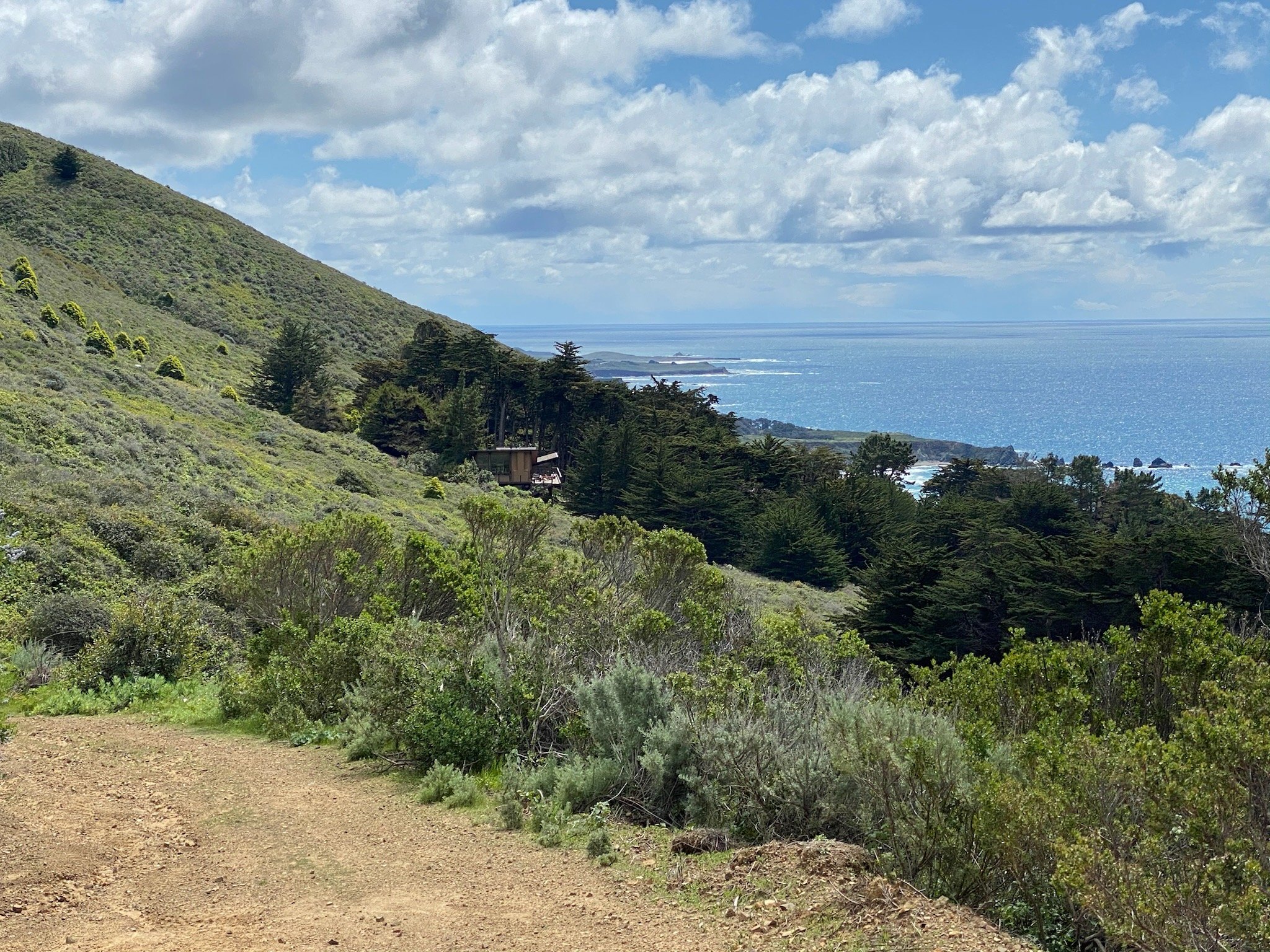
More experienced hikers can explore the heart of the Silver Peak Wilderness area by combining the Buckeye, Cruikshank, and Salmon Creek Trails for an arduous 15-mile circuit that features a 3,000 foot elevation gain and covers diverse terrain—from chaparral scrub to pockets of dense redwood forest—with seaside vistas and flowing streams. A worthwhile spur leads to Upper Salmon Creek Falls, a rarely visited waterfall that drops into an attractive pool in winter and spring.
To reach the Salmon Creek trailhead, drive 3.6 miles north from Ragged Point on Highway 1, and park in the small parking area on the inland side of the highway. Note that the hike and parking area are extremely popular on weekends, holidays, and the summer tourist season.
BOUCHER TRAIL AT PIEDRAS BLANCAS
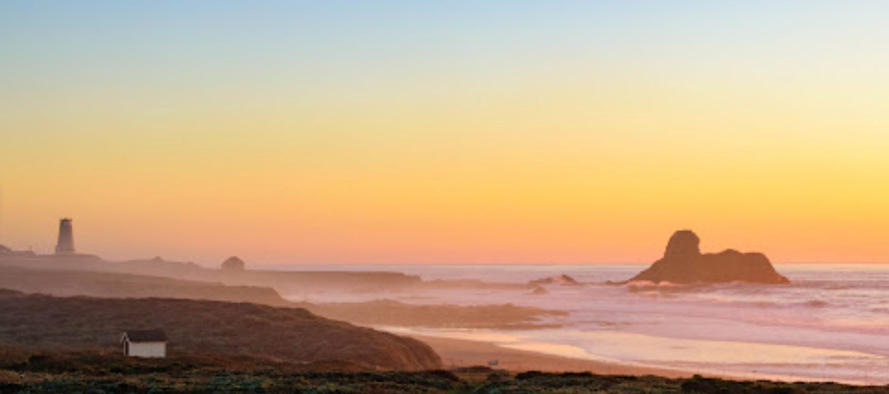
About eight miles south of Ragged Point, the Boucher Trail runs from 1/2 mile north of the Piedras Blancas Light Station to the paved elephant seal viewing parking area. This flat, 4 miles out-and-back trail offers spectacular scenic vistas of the lighthouse and coastline, and ample opportunities for viewing elephant seals, birds, and other wildlife.
Parking areas are available on the right side of the highway at the north and south ends of the trail.
SAN SIMEON POINT TRAIL

The San Simeon Point Trail, also called the “San Simeon Bay Trail,” runs along the beach in the charming village of San Simeon. The trail starts as a sandy path from William R. Hearst Memorial Beach, and winds ½ mile down the beach and then traverses the hill above it. This fairly flat, 2 ½ mile trail leads you through a variety of vegetation, and provides stunning views of San Simeon Bay and pier, local wildlife and seasonal wildflowers, historic San Simeon village, and Hearst Castle.
To get there, travel 15 miles south from Ragged Point, and park in the William R. Hearst Memorial Beach parking area.